
Guidelines for submitting articles to Roda Golf Resort Today
Hello, and thank you for choosing La Torre Today.com to publicise your organisation’s info or event.
Roda Golf Resort Today is a website set up by Murcia Today specifically for residents of the urbanisation in Southwest Murcia, providing news and information on what’s happening in the local area, which is the largest English-speaking expat area in the Region of Murcia.
When submitting text to be included on Roda Golf Resort Today, please abide by the following guidelines so we can upload your article as swiftly as possible:
Send an email to editor@spaintodayonline.com or contact@murciatoday.com
Attach the information in a Word Document or Google Doc
Include all relevant points, including:
Who is the organisation running the event?
Where is it happening?
When?
How much does it cost?
Is it necessary to book beforehand, or can people just show up on the day?
…but try not to exceed 300 words
Also attach a photo to illustrate your article, no more than 100kb

Walking in the Lorca countryside, the Calares de Cambrón route in Avilés
A 13-kilometre route in Lorca which reaches around 1,350 metres above sea level
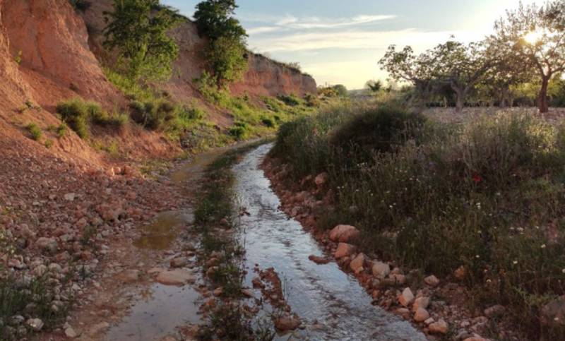 This is a 13.5-kilometre walk in the environs of Áviles, a small village in the Tierras Altas area of the vast municipality of Lorca, which usually takes around 5 hours and is classified as being of level of difficulty 3.
The route starts at the spot known as Corral Chico, already at 900 metres above sea level, which is reached from Avilés by following Calle del Pardo past the church of San Nicolás de Bari and along the Camino del Cargador for 3.5 kilometres to a crossroads where the tarmac ends. Leave your vehicle here, making sure it does not block any of the paths and roads.
The walk begins by continuing along the Camino del Cargador, crossing the rambla after 1.5 km and taking the right fork after 2.5 km. This takes us along the edge of the mountains of the Sierra del Cambrón on a well-marked path, although it is necessary to cross from one side of the rambla to the other various times.
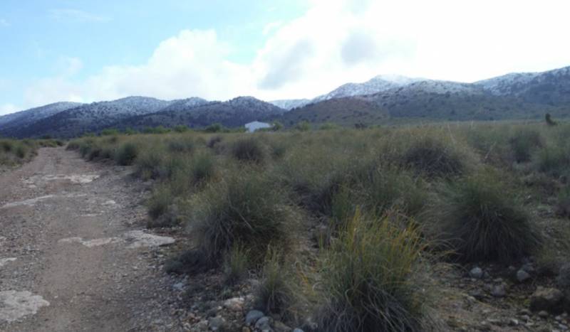 After 4.7 km take a path which leads off to the left, passing a hexagonal water storage pool which belongs to the Casa de los Tornajos. After this take another path off to the right, where there are various Spanish fir trees and walkers pass a spring before climbing higher on a poorly marked path. This then joins the one which was left behind previously.
After 5.5 km this route joins the PR-MU 102 walk between Zarzadilla de Totana and the Morrón de Rivazuelo (the highest point of the municipality of Lorca at 1,531 metres above sea level) and the Pico de la Selva (just 10 metres lower and in the municipality of Bullas). Just 200 metres later we reach the Collado del Sudador at an altitude of 1,372 metres, with the path to the peak of Cambrón to the left and the PR-MU 102 route continuing to the right.
However, this route heads forward between the two of them, descending on a path which is easy to follow and winding round the Cambrón to La Hoya del Conejo after 8.1 km. Here we begin to make our way down to the gorge of the Barranco del Cargador. Following the Barranco we reach the point where it intersects with the other one which we climbed up, and from here follow our earlier route in the opposite direction to get back to the starting point.
For more visiting information, events and local news go to the home page of Lorca Today.
Oficina de Turismo de Lorca

The rich and extensive history of Lorca has left a legacy of archaeological sites, and historic buildings, around which the modern city has built its tourism industry. Among these are Lorca Castle, the Jewish quarter of the castle and synagogue, Plaza de España, Colegiata de San Patricio, Museo de Arqueologico Municipal, Iglesia de San Francisco, Casa Huerto Ruano, Palacio de Guevara, Iglesia de San Mateo, Pósito de los Panaderos, Convento Virgen de las Huertas, Antiguo Convento de la Merced, Iglesia del Carmen and the Teatro Guerra.
 Unfortunately Lorca has also been prone to natural disaster, suffering a Gota Fría on September 28th 2012, as well as two earthquakes measuring 5.3 and 5.5 on the Richter scale on 11th May 2011, claiming 9 lives. Since this earthquake the city has been rebuilding, winning recognition for its Lorca, Open for Restoration initiative, which used the restoration of the city as a tourist attraction whilst it rebuilt its historical buildings, some of which are currently still not open.
The tourist office relocated for 14 years to Calle San Patricio, near the church, but has now returned to its former premises alongside the Palacio de Guevara in the Plaza Concha Sandoval, or Plaza de la Bordadora (click for map).
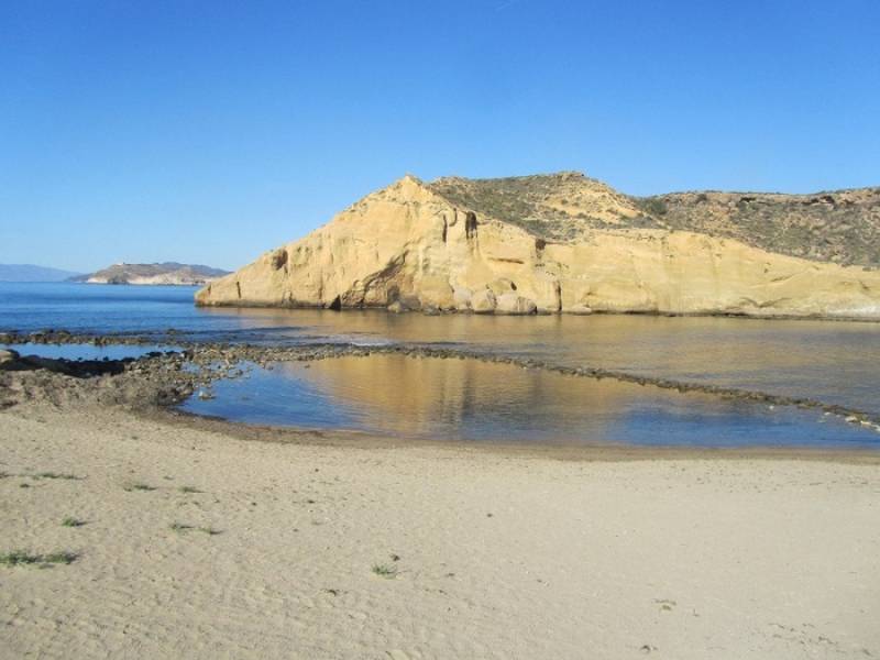
Lorca also has an area of coastline incorporating the Parque Regional de Cabo Cope - Puntas de Calnegre, in the Sierra de Almenara, which includes the beaches of Puntas de Calnegre, Baño de las Mujeres, San Pedro, El Siscal, Cala Honda, Cuartel del Ciscar, Junquera, Cala de la Gruta, Cala Leña, Los Hierros, Cala Blanca and Playa Larga, although many are accessible only along difficult tracks or by boat!

However, in spite of its many attractions, the name of Lorca is synonymous with Easter, (Semana Santa) its biblical parades of International Tourist Interest status and famous throughout Spain. The week includes a series of processions in which the Whites (Paso Blanco) and Blues (Paso Azúl) try to outdo each other with the magnificence of their embroideries and the skill and daring of their horsemen.
Lorca also has a Parador hotel, located within the historic castle.
Opening hours for Lorca tourist office:
Every day of the year apart from 1st and 6th January and 25th December, 10.00 to 14.00 and 16.30 to 18.30 (except Sunday afternoons).
These opening times are often extended and other information points created during the Semana Santa celebrations.
For more local news, events and visiting information go to the home page of Lorca Today


